
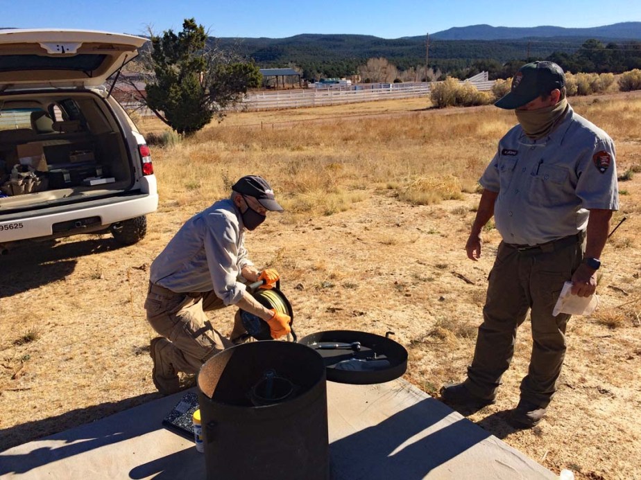
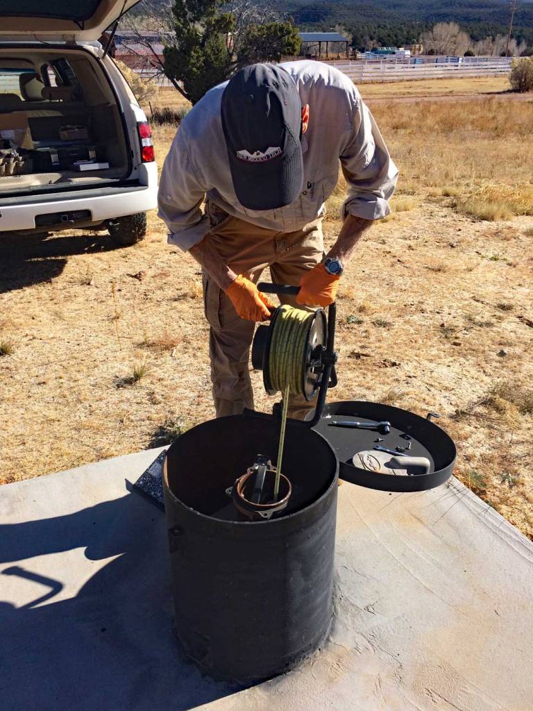
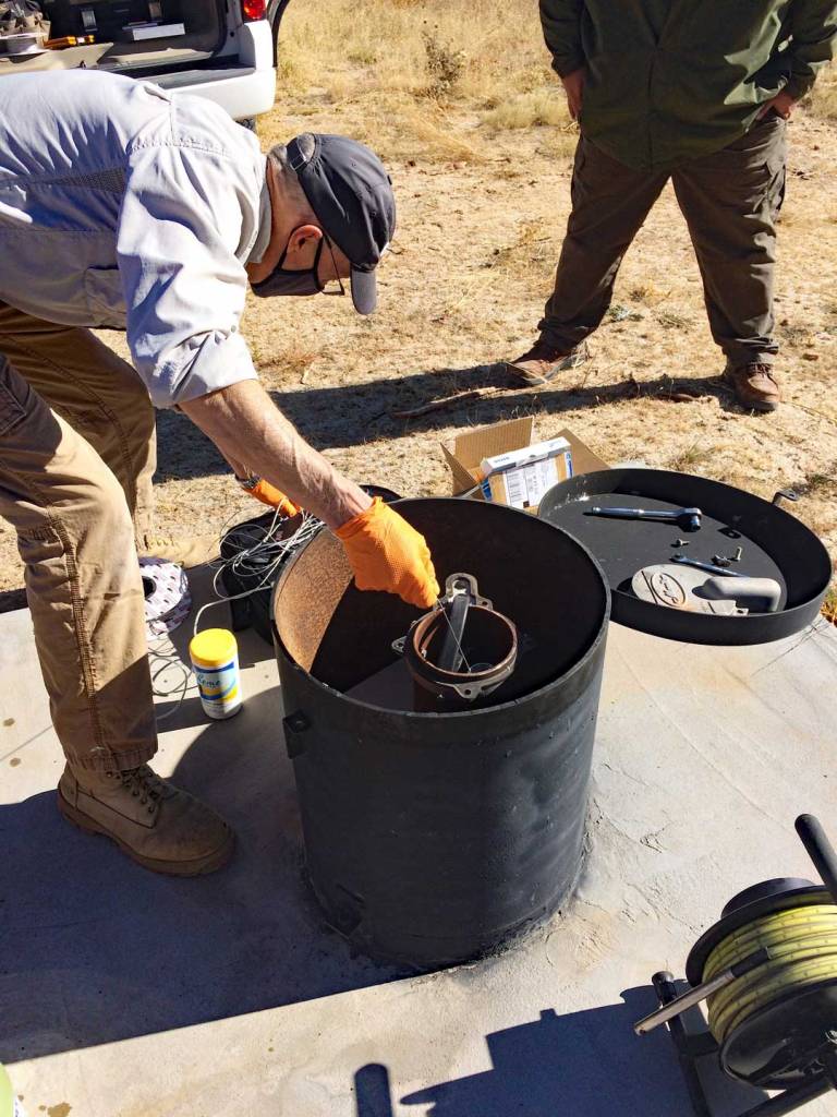
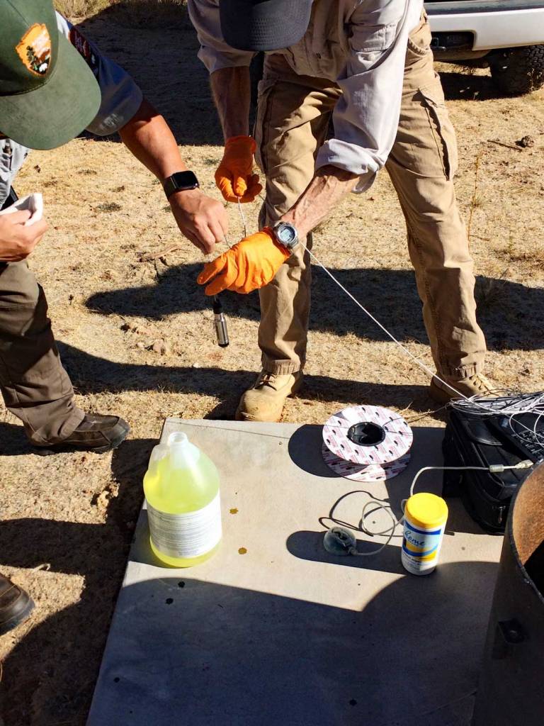
During November and December 2020, the Friends of the Pecos National Historical Park, NPS/PECO park staff, and NM Bureau of Geology and Mineral Resources have been working together to install a continuous well data recorder in the recently drilled Trading Post water well.
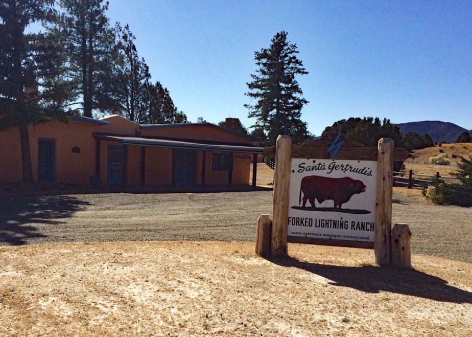
During the recent trading post renovation and restoration project, a replacement water well was drilled to replace the previous contaminated well.
During the past three years, Friends president, David Lemke, has been working on an independent water well monitoring with the NM Bureau of Geology and Mineral Resources’ Aquifer Mapping Program, Collaborative Well Network. The Park has granted access to some of the water wells on their various properties at the Glorieta Battlefield and Forked Lightning Ranch. Each of these wells are visited on an annual basis to measure top of water with the intention of ongoing monitoring water levels in the Upper Pecos water basin. This monitoring program is a first of its kind in the Pecos/Glorieta area. The new Trading Post well (UP-04746) was drilled under the supervision of Glorieta Geoscience, Inc. The quality of their technical work made this well an appealing candidate for inclusion in the Aquifer Mapping Program’s continuous monitoring network.
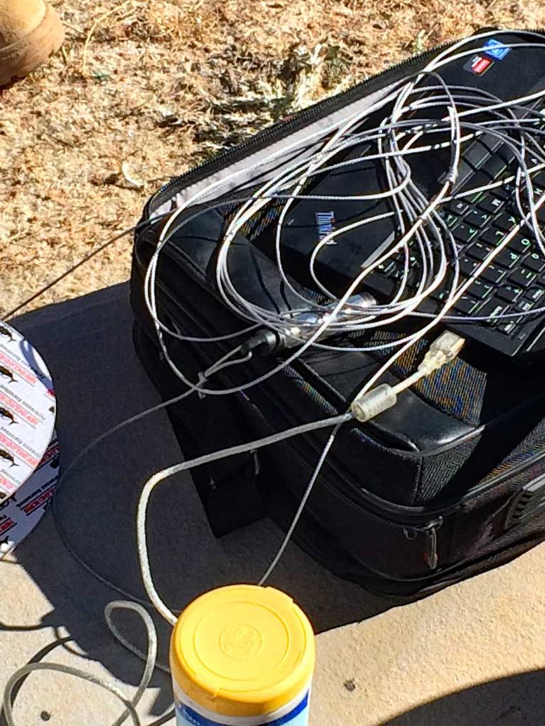
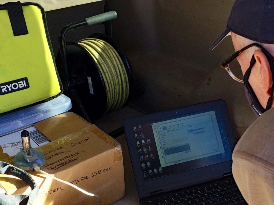
A continuously monitored water well has a vanEssen Instruments TD-Diver submersible datalogger installed in the well bore. This datalogger provides long-term uninterrupted, real-time water level monitoring using a pressure sensor to calculate total water depth.
If you have a domestic water well in the Pecos/Rowe/Glorieta area and interested in more information about the Aquifer Mapping Program, or would like to have your domestic water well included in the Upper Pecos Basin Collaborative Well Network, contact David Lemke.
